

Description
Book Synopsis: Showcasing this country’s astonishing beauty, the Rand McNally Road Atlas & National Park Guide is packed with hundreds of photos, essential visitor information, and insightful travel tips for all 63 of America’s national parks. And, celebrating its centennial anniversary, a complete 2024 Rand McNally Road Atlas is included to make navigating a breeze! Features Include:
- A four-color, 132-page National Park Guide details the best of the best in each park---from trails, drives, and natural wonders to programs, museums, and lodges. Hundreds of photos capture the essence of each park. Park inset maps highlight key points-of-interest.
- A 100th Anniversary Edition of the Rand McNally Road Atlas for planning and mapping out your trip.
Additional Features:
- Updated maps of every U.S. state, Canadian province, and an overview map of Mexico.
- Inset maps of over 350 cities and 63 U.S. national parks.
- Road construction and conditions contact information for every state conveniently located above the maps.
- Mileage chart showing distances between 90 North American cities and national parks along with a driving times map.
- Tell Rand! As much as we work to keep our atlases up to date, conditions change quickly and new construction projects begin frequently. If you know of something we haven’t captured in our atlas, let us know at randmcnally.com/tellrand.
- Tourism websites and phone numbers for every U.S. state and Canadian province on map pages.
Product Details: Spiral Binding, 272 pages. Dimensions: 10.875" x 15.3125".
Details
Experience the awe-inspiring beauty of America's national parks with the Rand McNally 2024 Road Atlas & National Park Guide. This comprehensive guide is packed with stunning photos, essential visitor information, and insider travel tips for all 63 national parks. Whether you're a nature enthusiast or an avid adventurer, this guide is your go-to companion. And as a special bonus, the 100th Anniversary Edition of the Rand McNally Road Atlas is included, making navigation a breeze!
With its four-color, 132-page National Park Guide, you'll have the best of the best at your fingertips. From top-notch trails, scenic drives, and natural wonders to informative programs, fascinating museums, and comfortable lodges, you won't miss a thing. The guide features hundreds of captivating photos that bring the essence of each park to life, while the park inset maps highlight key points-of-interest, ensuring you make the most of your visit.
Planning your trip has never been easier with the Rand McNally Road Atlas. Updated maps of every U.S. state, Canadian province, and an overview map of Mexico provide a comprehensive view, while inset maps of over 350 cities and 63 U.S. national parks offer detailed routes and directions. You'll also find road construction and conditions contact information conveniently located above the maps, ensuring you're always up-to-date with your journey. The mileage chart showing distances between 90 North American cities and national parks, along with the driving times map, will help you plan your itinerary more efficiently.
At Rand McNally, we strive to provide the most accurate and up-to-date information in our atlases, but things can change quickly. That's why we invite you to be part of our journey. If you come across any updates or new construction projects that we haven't captured in our atlas, let us know through our website at randmcnally.com/tellrand. Your feedback will help us enhance future editions and ensure the best navigation experience for every traveler.
Don't miss out on this ultimate travel companion! Trust the Rand McNally 2024 Road Atlas & National Park Guide to elevate your adventures and discover the wonders of our nation's parks. Plan your next journey with confidence by grabbing your copy today.
Get your Rand McNally 2024 Road Atlas & National Park Guide now!
Discover More Best Sellers in Geography Materials
Shop Geography Materials
24x36 World and USA Classic Premier 3D Two Wall Map Set (Paper Folded)
 Geography Materials - 24x36 World and USA Classic Premier 3D Two Wall Map Set (Paper Folded)
 Geography Materials - World Globe with Illuminated Constellations – 13” Light Up Globe For Kids & Adults – Gist - Compass Included Makes Great Educational Toys, Office Supplies, Teacher Desk Décor, More by Get Life Basics
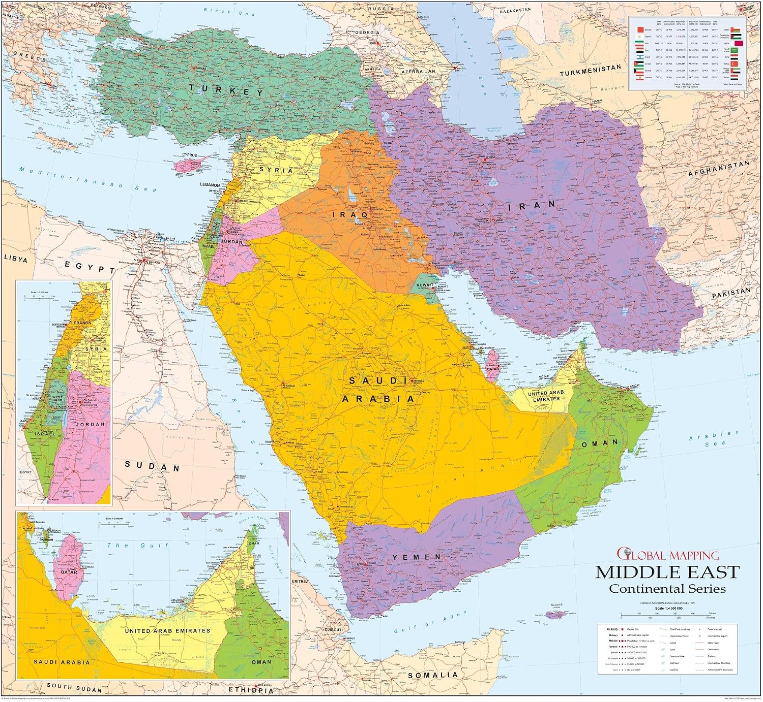
Middle East Wall Map - 42.5" x 39" Matte Plastic
 Geography Materials - Middle East Wall Map - 42.5" x 39" Matte Plastic

National Geographic: Southern Africa Wall Map - 22 x 28 inches - Laminated
Geography Materials - National Geographic: Southern Africa Wall Map - 22 x 28 inches - Laminated

Exerz Antique Globe Dia 5.5-inch Mini Globe - English Map - Modern Map in Vintage Color
Geography Materials - Exerz Antique Globe Dia 5.5-inch Mini Globe - English Map - Modern Map in Vintage Color
 Geography Materials - Wizdar 4'' World Globe for Kids Learning, Educational Rotating World Map Globes Mini Size Decorative Earth Children Globe for Classroom Geography Teaching, Desk and Office Decoration-4 inch

 Geography Materials - Little Chubby One 7-inch Educational World Globe - Educational and Decorative Piece - Colorful Informative Easy to Read Spinning Globe Ideal for Learning Geography and Perfect Decor for Kids Room
 Geography Materials - Palace Learning Blank USA Map Outline Poster LAMINATED - 18" x 29" (For Use With Wet Erase Markers Only)

